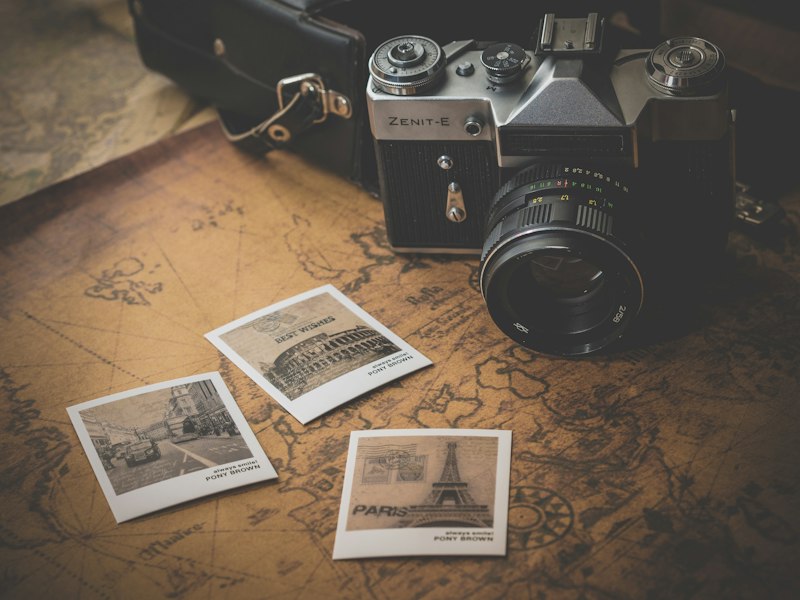
About Our Approach

We believe great photography comes from knowing exactly where to be and when to be there.

Photographer examining Vancouver landscape

How It Started

Storm-condor began from a simple observation: photographers waste countless hours searching for good shooting locations, often arriving at the wrong time or missing hidden gems entirely.

After years of exploring Vancouver with a camera, we noticed patterns. Certain streets transform during morning light. Specific viewpoints become extraordinary at sunset. Weather conditions that seem unfavorable often create the most dramatic images.

We started documenting these discoveries, building a comprehensive database of locations, optimal timing, and technical considerations. What began as personal notes evolved into systematically designed photography routes.
Our Philosophy on Photography Routes

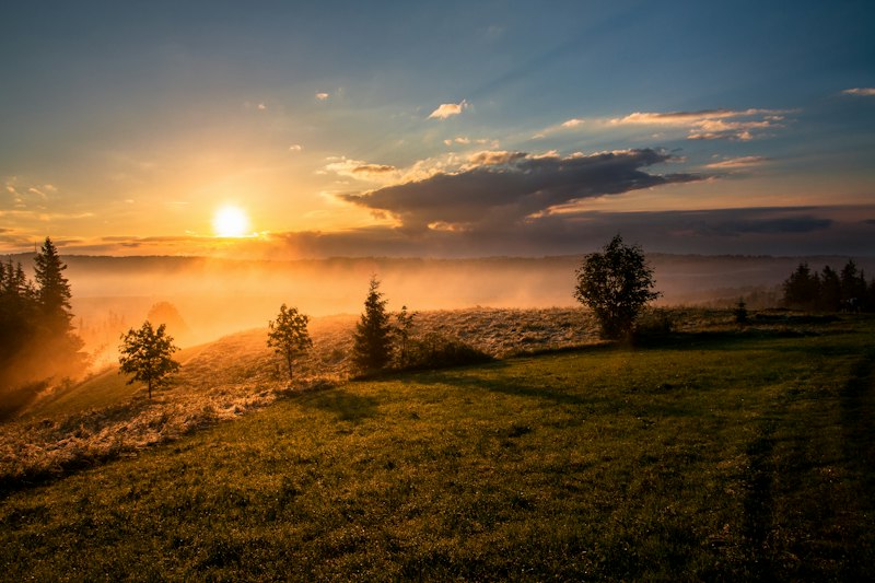
Photography is about being present when light and subject align. But knowing where that alignment happens requires extensive field research, patience, and systematic observation.

We don't just identify pretty locations. We analyze how they change throughout the day, across seasons, and under different weather conditions. We note technical challenges like harsh shadows, reflections, or crowd patterns that impact shooting.

Each route we design considers the photographer's journey from start to finish. Walking distance, transition times between locations, equipment requirements, and logical progression from one spot to the next all factor into the final path.

Research and Development

Creating a photography route involves multiple stages of testing. We visit locations repeatedly across different times and conditions, taking detailed notes on light quality, composition opportunities, and practical considerations.

We study sun angle calculators, analyze historical weather patterns, and track seasonal vegetation changes. Every recommendation in our routes comes from direct observation rather than guesswork.

Routes undergo refinement based on real-world testing. We adjust timing windows, modify the sequence of locations, and add alternative options for unpredictable conditions.

Detailed photography planning and mapping

What Makes Our Routes Different

Time-Specific Recommendations

We specify optimal shooting windows for each location, explaining why certain times work better based on light direction, shadow patterns, and environmental factors.

Technical Context

Routes include suggestions for focal lengths, aperture considerations, and potential technical challenges you'll encounter at each spot.

Seasonal Variations

We note how locations change throughout the year, helping you understand when to revisit for different photographic opportunities.

Practical Logistics

Information about parking, accessibility, crowd levels, and nearby facilities ensures you can focus on photography rather than logistics.

Commitment to Continuous Improvement

Vancouver is constantly evolving. New buildings alter light patterns, construction changes access routes, and seasonal conditions shift year to year.

We continuously update our routes based on these changes and feedback from photographers who use them. When we discover a better vantage point or more efficient path, we revise the route immediately.

This ongoing refinement ensures our routes remain relevant and reflect the current state of the city.

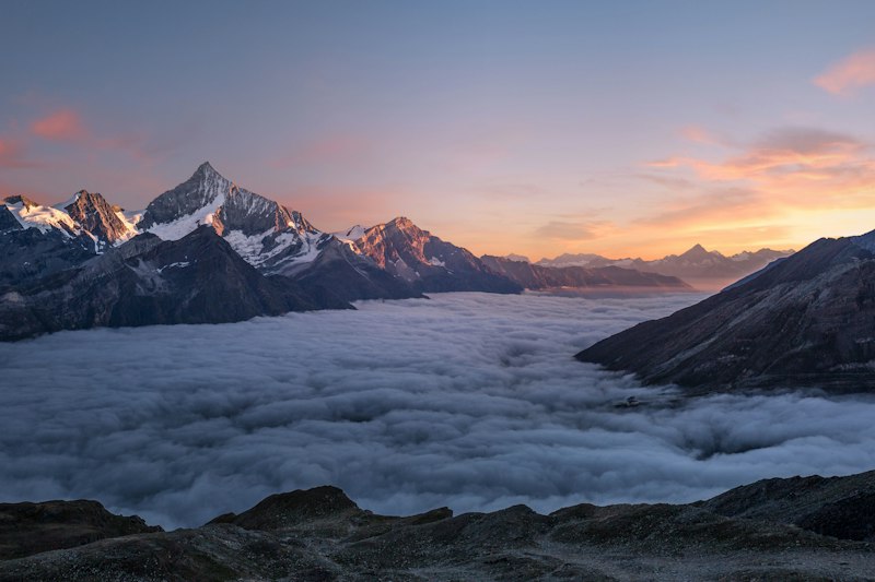
Vancouver mountain and urban landscape